#map
121 posts · Last used 10h
Boosted by @trending@homestead.social
Heute gehen wir in über 70 Orten auf die Straßen. Auch bei dir um die Ecke gibt es also einen Klimastreik, also Demoschild schnappen und auf zur nächsten Aktion!
Ready to tell Trump and the GOP we're not going to let them steal OUR elections and our country? The latest No Kings is tomorrow! Find a place to rally, connect, and make a statement.
#nokings #uspol #democracy
Replying to
Here's a direct link to the No Kings map (for Saturday, Oct. 17) to save folks some clicks!
Enter a city or zip code and the map will zoom in to show events near that location.
https://www.nokings.org/#map#USPol #NoKings #Elections
The Arrogance of Space - Wellington, New Zealand
GPS: -41.2872137, 174.7548157
Arrogance of Space ratio:
Green: 44%
Pedestrians: 9%
Cyclists: 2%
Cars: 27%
Buildings: 17%
Publictransport: 1%
#ArroganceOfSpace #cities #city #images #maps #map #urban #photos #urbanism #architecture #planning #publicspace #publictransport #cycling #wellington #newzealand
Generate your own:
So, they can watch us all day, but we can't know where...
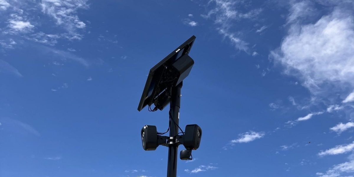
Flock Wants the Most Detailed Map of Its Surveillance Cameras Taken Offline
https://theintercept.com/2026/09/24/how-many-flock-devices-in-united-states-300000/
#Flock #Map #Surveillance #Cameras #Privacy #ACAB #Tech
The Arrogance of Space - Yamoussoukro, Ivory Coast
GPS: 6.8010659, -5.2754795
Arrogance of Space ratio:
Buildings: 86%
Cars: 14%
#ArroganceOfSpace #cities #city #images #maps #map #urban #photos #urbanism #architecture #planning #publicspace #publictransport #cycling #yamoussoukro #ivorycoast
Generate your own:
Sensitive
The Arrogance of Space - Ottawa, Canada
GPS: 45.4304647, -75.730058
Arrogance of Space ratio:
Pedestrians: 9%
Cars: 38%
Buildings: 40%
Publictransport: 13%
#ArroganceOfSpace #cities #city #images #maps #map #urban #photos #urbanism #architecture #planning #publicspace #publictransport #cycling #ottawa #canada
Generate your own:
Los ciclistas 🚴 ¿Conocen el proyecto CyclOSM de #OSM que mapea las ciclorutas a nivel mundial? aquí el mapita de Bogotá:
Wellington International Airport - Wellington, New Zealand
https://en.wikipedia.org/wiki/Wellington_International_Airport
https://www.openstreetmap.org/#map=13/-41.327202/174.804993
#NZWN #WLG #Wellington #NewZealand #airport #aviation #avgeeks #GIS
The Arrogance of Space - Ashgabat, Turkmenistan
GPS: 37.952775194539, 58.421025289739
Arrogance of Space ratio:
Cars: 29%
Buildings: 28%
Green: 43%
#ArroganceOfSpace #cities #city #images #maps #map #urban #photos #urbanism #architecture #planning #publicspace #publictransport #cycling #ashgabat #turkmenistan
Generate your own:
Hohhot Baita International Airport - Hohhot, China
https://en.wikipedia.org/wiki/Hohhot_Baita_International_Airport
https://www.openstreetmap.org/#map=13/40.849658/111.824598
#ZBHH #HET #Hohhot #China #airport #aviation #avgeeks #GIS
Guadalajara International Airport - Guadalajara, Mexico
https://en.wikipedia.org/wiki/Don_Miguel_Hidalgo_y_Costilla_International_Airport
https://www.openstreetmap.org/#map=13/20.523342/-103.310108
#MMGL #GDL #Guadalajara #Mexico #airport #aviation #avgeeks #GIS
Bandaranaike International Colombo Airport - Colombo, Sri Lanka
https://en.wikipedia.org/wiki/Bandaranaike_International_Airport
https://www.openstreetmap.org/#map=13/7.180760/79.884102
#VCBI #CMB #Colombo #SriLanka #airport #aviation #avgeeks #GIS
The Arrogance of Space - Abu Dhabi, United Arab Emirates
GPS: 24.4664134, 54.3813161
Arrogance of Space ratio:
Cars: 54%
Buildings: 8%
Green: 34%
Pedestrians: 4%
#ArroganceOfSpace #cities #city #images #maps #map #urban #photos #urbanism #architecture #planning #publicspace #publictransport #cycling #abudhabi #unitedarabemirates
Generate your own:
The Arrogance of Space - Yamoussoukro, Ivory Coast
GPS: 6.8353812, -5.2953541
Arrogance of Space ratio:
Cars: 14%
Dead_space: 7%
Green: 79%
#ArroganceOfSpace #cities #city #images #maps #map #urban #photos #urbanism #architecture #planning #publicspace #publictransport #cycling #yamoussoukro #ivorycoast
Generate your own:
Mariscal Sucre International Airport - Quito, Ecuador
https://en.wikipedia.org/wiki/Mariscal_Sucre_International_Airport
https://www.openstreetmap.org/#map=13/-0.125399/-78.354306
#SEQM #UIO #Quito #Ecuador #airport #aviation #avgeeks #GIS
Lower Hutt War Memorial Library, public library in Lower Hutt, New Zealand.
https://en.wikipedia.org/wiki/Lower_Hutt_War_Memorial_Library
#libraries #books #map
Quebec Jean Lesage International Airport - Quebec, Canada
https://en.wikipedia.org/wiki/Qu%C3%A9bec/Jean_Lesage_International_Airport
https://www.openstreetmap.org/#map=13/46.791100/-71.393303
#CYQB #YQB #Quebec #Canada #airport #aviation #avgeeks #GIS
Looking where the Amazon cargo plane has overrun runway 12/30 in Miami airport, crossing a street and hitting people in a car parking, it is amazing to see a street and parking so closed to the Runway End Safety Area (Stopway). Are they facilities that exist elsewhere and that we coul describe in OpenStreetMap ?